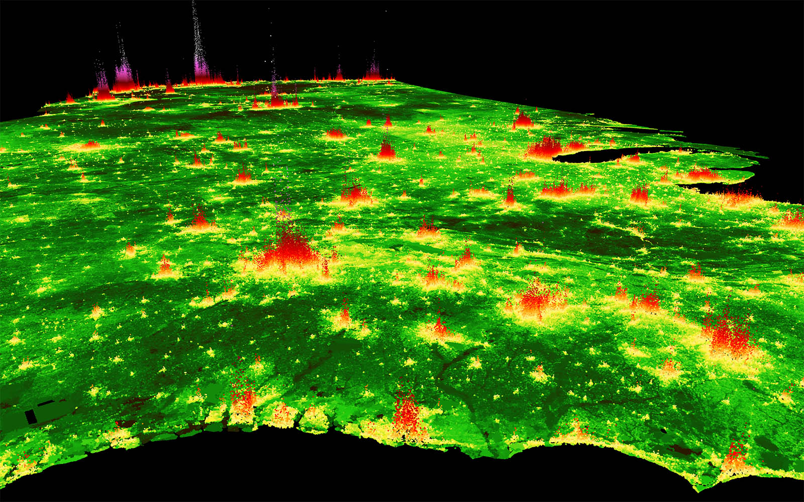
Hundreds of variables are automatically synthesized for each parcel in PLACES. Completeness varies by location. Access to some variables requires license agreements from third-party providers (see Get Access).
To request data, please download the below variable definition file (pc.csv) and return it with an additional column that identifies the variables you’d like to work with. Be aware that some groups of variables can vary over multiple dimensions and file volumes can become large quickly (e.g. annual land cover indicators). Therefore, when including variables that contain asterisks wildcards (*), provide additional information on which variables to include (e.g. for a specific year).
Asterisks (*) indicate that this variable is computed for multiple values along one or more dimensions (e.g. years, radii, types, flood return periods, etc.). If so, available dimensions are named [in brackets] in the variable description.
Additional demographic indicators can be easily joined using the corresponding reference IDs (block group, census tract, etc.)
