Comparing the effectiveness of conservation instruments in the Colombian Andes biodiversity hotspot (NASA)
Funded by: NASA Land Cover and Land Use Change (Grant #80NSSC20K1486), 2020-2025
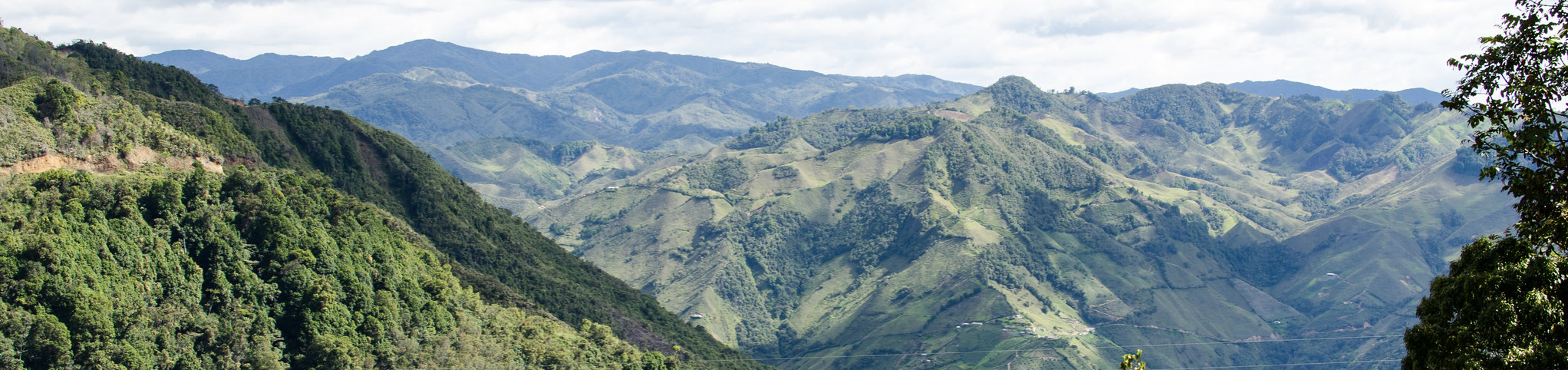
This project combined remote sensing and social science methods to measure and predict the relative effectiveness of conservation instruments in protecting threatened forest habitat in the Colombian Andes. This ecoregion stands unequaled among global biodiversity hotspots in terms of species richness and endemism, but is also one of the most severely threatened by habitat loss, climate change, and post-conflict development. In response, Colombia has implemented a range of conservation policies, including protected areas (PAs), land acquisitions for conservation (LACs), and payments for environmental services (PES). Colombia’s government faces critical policy decisions about the importance given to each in the policy mix to conserve Andean forests. These choices were undermined by limited evidence on the effectiveness of each instrument in the Colombian Andes. Remote sensing-based impact assessments can narrow this gap, but applications in the tropical Andes had long been inhibited by cloud cover and topography.
We addressed this problem by combining continuous change detection and classification and a fusion of Landsat and Sentinel 1/2 data to develop the first temporally consistent map of 25-year forest change in the Colombian Andes that discriminates between forest types of different habitat value: mature forest, secondary forests, forest plantations. We estimated the impacts and cost-effectiveness of PAs, LACs, and PES by combining the forest change layers with nationwide parcel data and a unique dataset of thousands of publicly-financed conservation instruments. Using counterfactual inferential methods, novel machine learning methods, and field research, we examined how causal effects of each instrument varied across landscapes as a function of ecological, demographic, and institutional variables. Collaboration with Colombia’s leading research institutes in land cover change mapping (IDEAM) and biodiversity research (IAVH, Universidad Javeriana) ensured responsiveness to national priorities, exchange of expertise, and timely dissemination of results.
Project Team
- Christoph Nolte (Boston University, PI)
- Paulo Arévalo (Boston University, Co-I)
- Eric Bullock (U.S. Forest Service, Co-I)
- Ana Reboredo Segovia (Boston University, PhD student)
- Gustavo Galindo (IDEAM, Collaborator)
- Clara Matallana (Humboldt Institute, Collaborator)
- Luis Miguel Renjifo (Universidad Javeriana, Collaborator)
- Mark Friedl (Boston University, Collaborator)
- Curtis Woodcock (Boston University, Collaborator)