PLACES exists to facilitate empirical, public-serving research into land policy. We strive to make its data as accessible as possible to academic, governmental, and non-profit researchers with interests in land policy.
Much of the data in PLACES can be shared with collaborators at no cost, but some cannot. If you would like to work with synthesized datasets that contain data from licensed sources, you need to obtain a data license from the corresponding providers. We can help you with that.
Data Types & Access
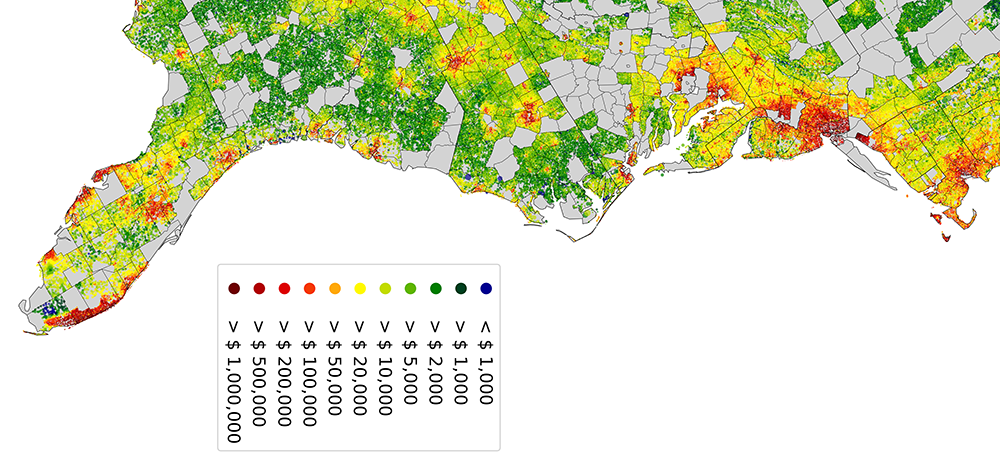
- Parcel boundaries: tax parcels are the principal spatial units in PLACES. We obtain them from different providers: data for a third of counties is open-access, the remainder is licensed.
- Tax assessor and transaction data was generously provided to U.S. academic, non-profit and governmental researchers by Zillow through ZTRAX between 2017 and Sept 30, 2023. We linked it to spatial parcel boundaries using our own algorithms (involving hundreds of syntax patterns for parcel identifiers). This data is no longer in our possession.
- Protection data comes from a variety of providers. Most are open-access (PAD-US, NCED), but some require agreements with the respective agencies (Conservation Almanac, COMaP).
- Flood depth data is available to academic researchers through free licenses from Fathom and First Street.
- All remaining data comes from open-access sources. This includes data on terrain, land cover and land cover change, biomass, lake & river access, wetlands, infrastructure, demographics, infrastructure, and other features.
For more information on individual variables, please consult the PLACES variable dictionary.
Request Access
We can provide custom data extracts for your research. Feel free to contact Christoph Nolte (chrnolte@bu.edu) with your request and a brief description of your envisaged research objectives and methods. Note that we can only share licensed data if you have a license with the corresponding provider (see above).