Nationwide property datasets help illuminate how owners and renters respond to environmental change in many different locations. However, the data is patchy, “dirty”, and needs attention to detail for your analysis to be accurate, defensible, and replicable. Here are a few things 14 researchers from 11 US states learned when working with the recently re-released ZTRAX, a nationwide property dataset from Zillow. If you’re a newcomer to ZTRAX, our recommendations help you get started. They’re not perfect and feedback is welcome (chrnolte@bu.edu).
Download article
“We discuss data quality and modeling issues inherent in the use of nationwide property data to value environmental amenities. By example of ZTRAX, a U.S.-wide real estate database, we identify challenges and propose guidance for: (1) the identification of arms-length sales, (2) the geo-location of parcels and buildings, (3) temporal linkages between transaction, assessor, and parcel data, (4) the identification of property types, such as single-family homes and vacant lands, and (5) dealing with missing or mismeasured data for standard housing attributes. We review current practice and show that how researchers address these issues can meaningfully influence research findings.”
Publications
We used these filters to pre-process ZTRAX data in more than a dozen peer-reviewed analyses. Many appeared as part of a Joint Special Issue: Property Value Analysis Using ZTRAX. Applications under the Approaching Sunset, published in:
- Land Economics: 11 articles, 5 of which include co-authors named above (Swedberg on lake water quality, Chaudhry on water markets, Mamun on Critical Habitat, Zabel on U.S. National Parks, Nolte on data practices).
- Journal of Housing Economics: 8 articles, 4 of which include co-authors named above (Hennighausen on flood insurance, Guignet on industrial chemical accidents, Johnson on Covid-19 property value effects, Pollack on the special flood hazard area)
Articles in other journals:
- Journal of the Association of Environmental and Resource Economists (Guignet on hazardous waste), Nature Climate Change (Gourevitch on climate risk), and Proceedings of the National Academy of Sciences (Nolte on conservation cost, Mamun on lake water quality).
Materials
These files allow you to implement the filtering steps discussed in the paper.
This file is based on the Oct 2019 version of ZTRAX. In the Oct 2021 version, datums had changed considerably – mostly towards NAD83/WGS84.
What is ZTRAX?
ZTRAX is a U.S.-wide database of tax assessment and property transaction records shared by Zillow, Inc. free of charge with U.S. academic, nonprofit and government researchers.
Zillow granted access to ZTRAX to U.S. academics between 2016 and Sept 30, 2023. It re-released ZTRAX in 2026 via the Inter-university Consortium for Political and Social Research (ICPSR).
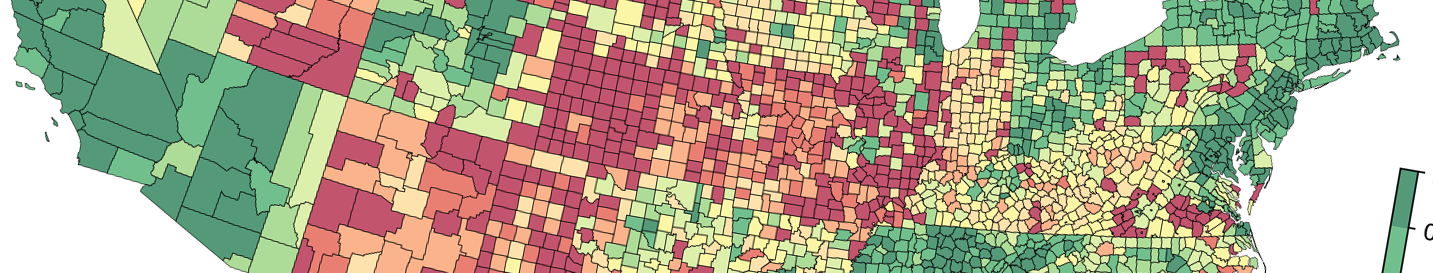
We linked ZTRAX to nationwide parcel maps and numerous social-environmental variables to develop U.S.-wide high-resolution maps of land value and to support hedonic analyses with collaborators around the country (>12 states).